
Forestry companies / Markham, ON
Private AI for forestry companies.
Turn field observations into targeted follow-up.
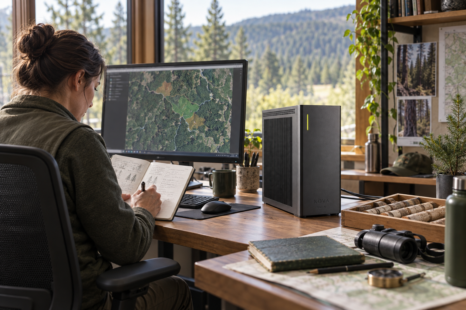
Turn field observations into targeted follow-up
Detect canopy or access changes, compare observations over time and identify survey priorities.
Inputs: Licensed aerial images, authorised field records, equipment histories and GIS layers.
From observation to completed task
Create mapped inspection tasks and prepare resource-planning alternatives.
Organise an approved operations and project-review brief
The supporting records include authorised field summaries, work plans and service records.
Qualified staff verify field conditions and requirements.
The systems involved
GIS and imagery tools, dated observations and models evaluated for the vegetation and terrain.
SOS AI configures the local models and tool permissions for this workflow. Actions in business software follow the authority you approve; uncertain cases and actions outside those limits go to the responsible person.
What a useful result must get right
Forestry specialists verify field conditions and permitted actions; avoid unsupported ecological conclusions.