
Satellite-imagery analysts / Halifax, NS
Private AI for satellite-imagery analysts.
Turn an image change into a georeferenced review item.
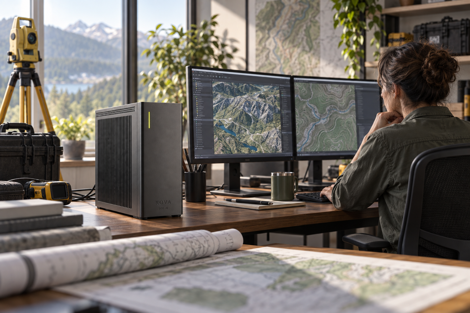
Turn an image change into a georeferenced review item
Detect changed features and compare them with prior captures while preserving date and location.
Inputs: Licensed imagery, authorised historical layers, coordinate systems and field observations.
From observation to completed task
Create mapped review tasks with source imagery and uncertainty noted.
Document an authorised imagery-review process
The supporting records include dataset metadata, approved annotations and methods notes.
Analysts verify observations and do not assume automated image interpretation is validated.
The systems involved
GIS and image-processing tools tested for the resolution and terrain.
SOS AI configures the local models and tool permissions for this workflow. Actions in business software follow the authority you approve; uncertain cases and actions outside those limits go to the responsible person.
What a useful result must get right
Analysts validate coordinates and interpretation; no sensitive-person identification or tracking.