
Defense logistics companies / Halifax, NS
Private AI for defense logistics companies.
Turn imagery changes into reviewable map tasks.
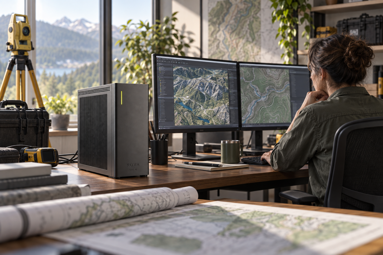
Turn imagery changes into reviewable map tasks
Detect changes, classify features and compare observations with the previous mapped state.
Inputs: Licensed imagery, permitted survey data, coordinate systems and historical layers.
From observation to completed task
Create a mapping-review task with coordinates, date and source imagery.
Draft an unclassified service-administration briefing
The supporting records include approved procedures, non-sensitive contract records and training schedules.
Operational movements and restricted logistics are outside this workflow.
The systems involved
GIS interfaces, georeferencing checks and models tested for the imagery and terrain.
SOS AI configures the local models and tool permissions for this workflow. Actions in business software follow the authority you approve; uncertain cases and actions outside those limits go to the responsible person.
What a useful result must get right
Surveyors or analysts verify accuracy; avoid sensitive-person tracking and unsupported boundary conclusions.