
Surveying firms / Moncton, NB
Private AI for surveying firms.
Compare field evidence with the spatial or geological model.
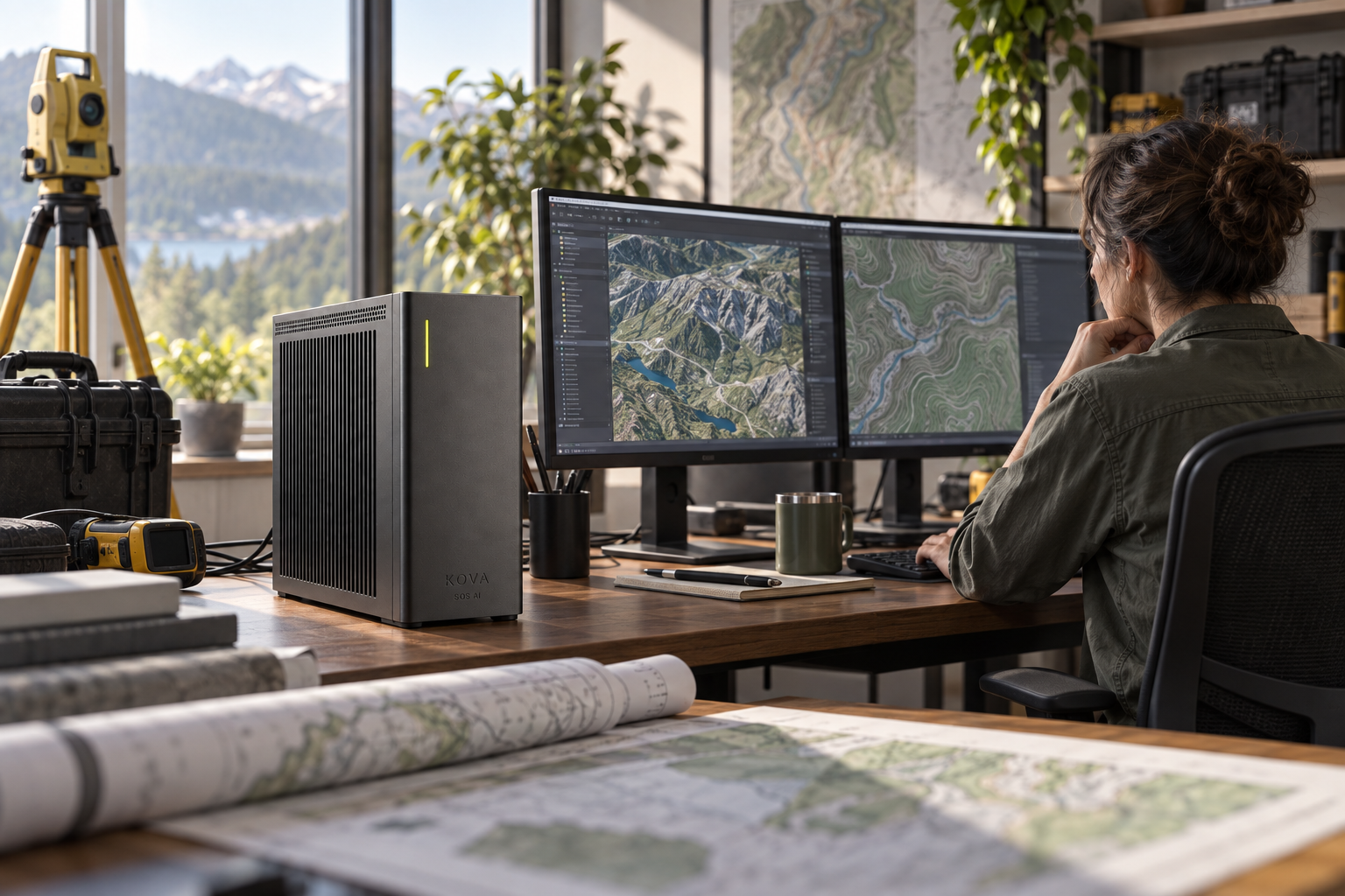
Compare field evidence with the spatial or geological model
Detect inconsistent measurements, compare spatial patterns and run approved analytical models.
Inputs: Authorised survey measurements, geophysical data, field images and model assumptions.
From observation to completed task
Prepare mapped review issues and reproducible analysis for the specialist.
Organise authorised field-document references for review
The supporting records include approved field notes, project instructions and document registers.
Surveyors validate measurements and professional conclusions.
The systems involved
GIS and geoscience tools, calibrated units and coordinate-system controls.
SOS AI configures the local models and tool permissions for this workflow. Actions in business software follow the authority you approve; uncertain cases and actions outside those limits go to the responsible person.
What a useful result must get right
Specialists validate interpretation and resource or boundary claims; no model-only certification.