Agriculture
See changes in crops, equipment and storage earlier.

Forestry / Richmond, BC
Turn field observations into targeted follow-up. Imagery and field reports may reveal changes that are difficult to compare manually.
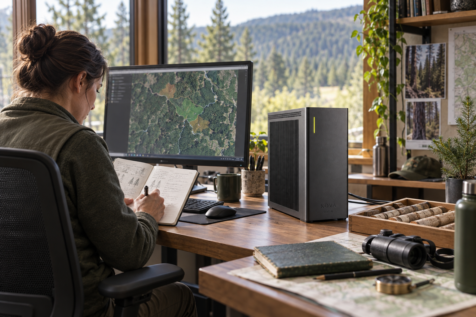
Imagery and field reports may reveal changes that are difficult to compare manually.
KOVA can be configured to work with these inputs: licensed aerial images, authorised field records, equipment histories and GIS layers.
Detect canopy or access changes, compare observations over time and identify survey priorities.
Create mapped inspection tasks and prepare resource-planning alternatives.
GIS and imagery tools, dated observations and models evaluated for the vegetation and terrain.
KOVA runs the selected models locally. SOS AI combines the required model software, data connections and approved application tools around the job. Cameras, sensors, telephony and specialist applications are integrated where the workflow calls for them; they are not assumed to be present in every installation.
Forestry specialists verify field conditions and permitted actions; avoid unsupported ecological conclusions.
No professions match. Try a broader word.