
Geospatial & Mapping / Burnaby, BC
Private AI for geospatial & mapping.
Turn imagery changes into reviewable map tasks. A new feature or changed boundary requires more than an unreferenced image observation.
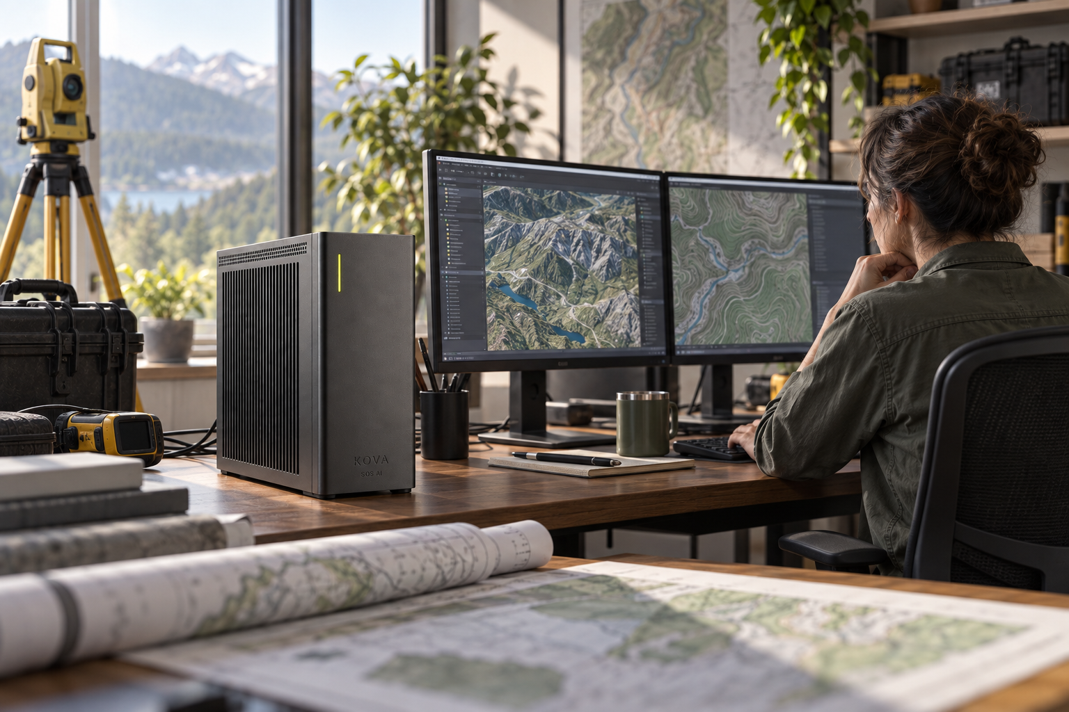
Turn imagery changes into reviewable map tasks
A new feature or changed boundary requires more than an unreferenced image observation.
KOVA can be configured to work with these inputs: licensed imagery, permitted survey data, coordinate systems and historical layers.
What the AI looks for
Detect changes, classify features and compare observations with the previous mapped state.
What happens next
Create a mapping-review task with coordinates, date and source imagery.
What SOS AI connects and configures
GIS interfaces, georeferencing checks and models tested for the imagery and terrain.
KOVA runs the selected models locally. SOS AI combines the required model software, data connections and approved application tools around the job. Cameras, sensors, telephony and specialist applications are integrated where the workflow calls for them; they are not assumed to be present in every installation.
How to judge the result
Surveyors or analysts verify accuracy; avoid sensitive-person tracking and unsupported boundary conclusions.
Geospatial & Mapping: professions and teams
Audiologists
Make follow-up administration easier without changing the care plan.
Explore the application ↗Biologists
Keep biological analysis tied to the experiment and permissions.
Explore the application ↗Cardiologists
Keep the specialist's case preparation and follow-up connected.
Explore the application ↗Defense logistics companies
Turn imagery changes into reviewable map tasks.
Explore the application ↗Dermatologists
Keep the specialist's case preparation and follow-up connected.
Explore the application ↗Exploration geologists
Compare field evidence with the spatial or geological model.
Explore the application ↗Geologists
Compare field evidence with the spatial or geological model.
Explore the application ↗Geospatial intelligence analysts
Preserve provenance through an authorised analytical task.
Explore the application ↗Geospatial intelligence teams
Turn imagery changes into reviewable map tasks.
Explore the application ↗GIS professionals
Turn an image change into a georeferenced review item.
Explore the application ↗Legislative offices
Keep general enquiries and public information organised.
Explore the application ↗Legislative staff
Keep authorised briefings and service requests traceable.
Explore the application ↗Logistics planners
Replan the shipment around real availability.
Explore the application ↗Mapping companies
Turn imagery changes into reviewable map tasks.
Explore the application ↗Military logistics teams
Turn imagery changes into reviewable map tasks.
Explore the application ↗Molecular biologists
Keep biological analysis tied to the experiment and permissions.
Explore the application ↗Neurologists
Keep the specialist's case preparation and follow-up connected.
Explore the application ↗Oncologists
Prepare the multidisciplinary review with the right case evidence.
Explore the application ↗Ophthalmologists
Keep the specialist's case preparation and follow-up connected.
Explore the application ↗Organizational psychologists
Turn imagery changes into reviewable map tasks.
Explore the application ↗Pathologists
Connect the image workflow with the right case context.
Explore the application ↗Political strategists
Keep general enquiries and public information organised.
Explore the application ↗Psychologists
Keep practice administration out of the confidential conversation.
Explore the application ↗Quantity surveyors
See the change that affects the next activity or estimate.
Explore the application ↗Radiologists
Connect the image workflow with the right case context.
Explore the application ↗Registrar staff
Turn imagery changes into reviewable map tasks.
Explore the application ↗Remote-sensing teams
Turn an image change into a georeferenced review item.
Explore the application ↗Satellite-imagery analysts
Turn an image change into a georeferenced review item.
Explore the application ↗School psychologists
Turn imagery changes into reviewable map tasks.
Explore the application ↗Speech-language pathologists
Make follow-up administration easier without changing the care plan.
Explore the application ↗Supply-chain strategists
Compare the shortage response before committing money.
Explore the application ↗Surveying firms
Compare field evidence with the spatial or geological model.
Explore the application ↗Surveyors
Compare field evidence with the spatial or geological model.
Explore the application ↗Synthetic biologists
Keep biological analysis tied to the experiment and permissions.
Explore the application ↗No professions match. Try a broader word.